REMOTE SENSING / GIS SERVICES
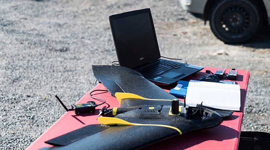
Data Acquisition
- Manned & unmanned aircraft surveys
- RTK L1/L2 GNSS survey
- Ground control & check points
- Direct Georeferencing
- Sensors (RGB, near infrared, thermal)
Data Processing
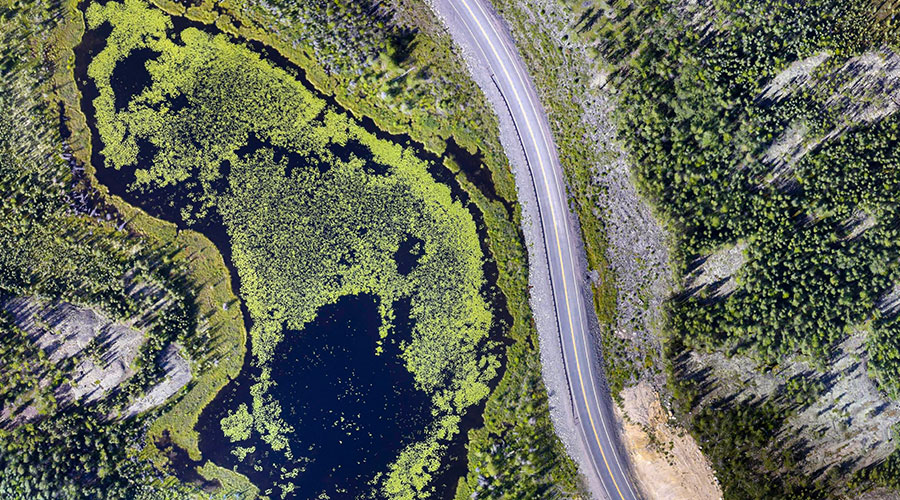
- Satellite, airborne, RPAS imagery analysis and feature extraction
- Satellite imagery purchasing and tasking
- LIDAR data processing & analysis
- Terrain models / DEM
- Point clouds
- RMSE Error analysis
- Historical Air Photo processing
Geospatial Analysis
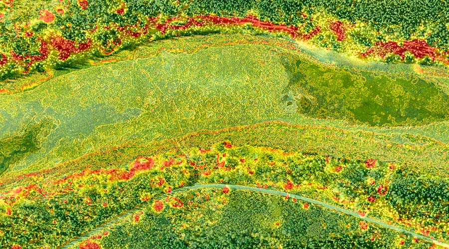
- Image classification (un/supervised, machine learning, object oriented)
- Large project scalability using R and Python
- Watershed delineation & drainage analysis
- Feature digitization
- Vegetation health (NDVI)
- Volumetric analysis
- Wildlife counting & habitat suitability mapping
- Site selection & suitability
- Forest inventory
- Aerial snow depth mapping
- Natural hazard risk assessments & hazard mapping

Cartography
Visually appealing 2D/3D cartography for use in reports, brochures, signage and publications,
including:
- Topographic maps
- Community maps
- Canoe route maps
- Trail maps
- Campground maps
- Site layouts
- Surficial geology

Database
Contact us for information on geospatial data available for purchase.