featured work
Mine Site Remediation
Mine Site Remediation
Task 1: Model drainage system downstream of remediation site.
Task 2: Develop method to quantitatively monitor vegetation health in restored areas.
Methodology:
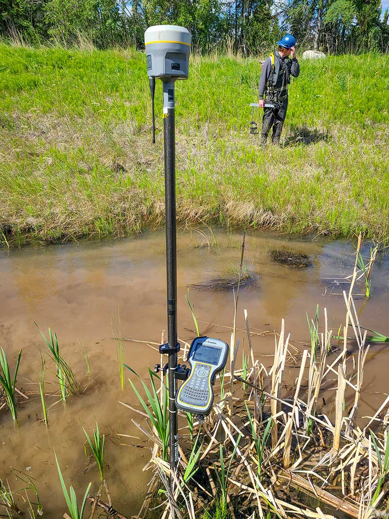
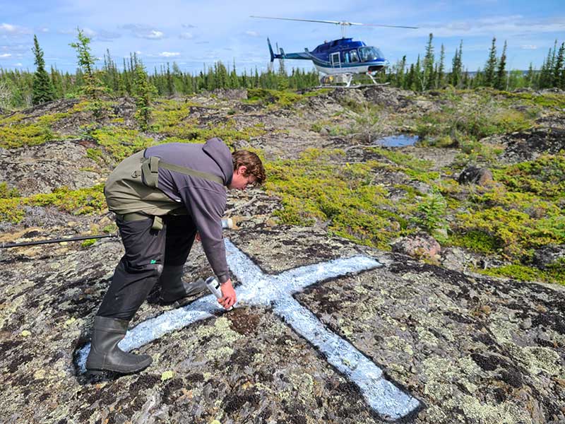
Step 1: RTK survey of creek cross sections and elevation of lake bottom at in-flow and out-flow of 3 lakes. Establish ground control points for aerial mapping by use of helicopter.
Step 2: Perform depth sounder transects by boat to collect bathymetry data for 3 lakes.
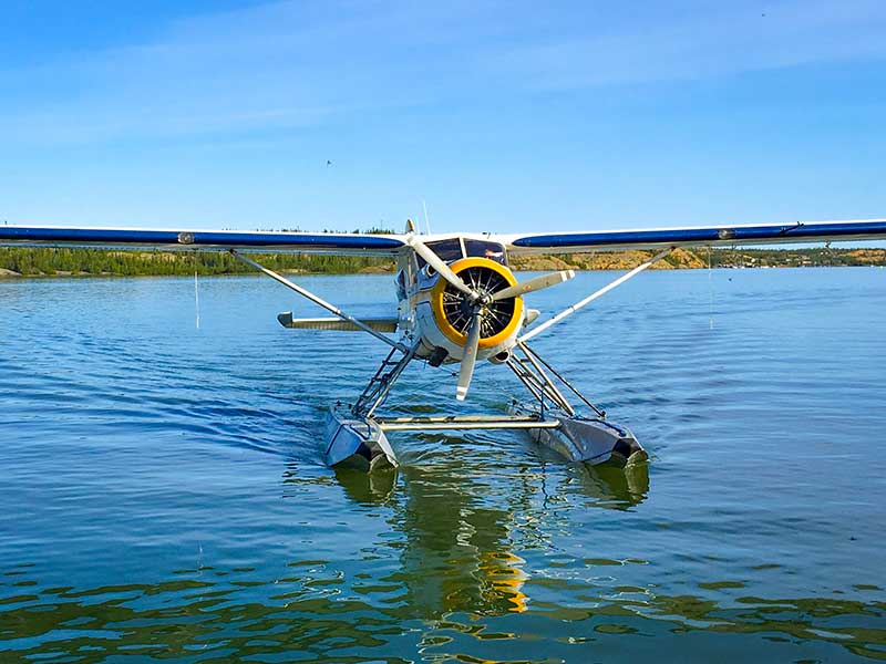
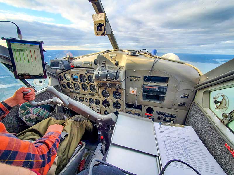
Step 3: Perform photogrammetric aerial mapping using both RGB and infrared camera sensors. Map area in controlled airspace by manned-aircraft, collecting data over 20 km2 at 7 cm resolution.
Step 4: Process aerial mapping data to sub-centimetre level geolocation accuracy in X, Y & Z axes. Generate a 4-band raster containing RGB & Infrared spectrums.
Step 5: Generate digital elevation model rasters of creek transects, lake bathymetry and surrounding terrain. Combine rasters into single elevation model of entire project area, from the bottom of the deepest lake to the top of the highest hill.
Step 6: Referencing water elevations from previously installed level loggers, adjust theoretical water and map effects it would have on overall system. Produce stage-storage curves from the maximum depth of each lake to the water level at the spill over point.
Step 7: Calculate Normalized Difference Vegetation Index (NDVI) for each pixel of the aerial mapping 4-band RGB-Infrared orthomosaic. Produce NDVI map depicting presence of vegetation and vegetation health on a scale from -1 (no vegetation, black) to +1 (successful vegetation, white). NDVI can then be used to monitor health year to year.